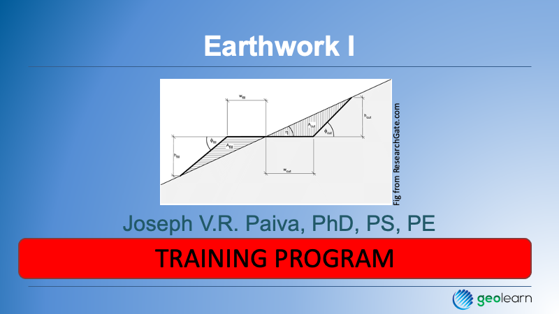
Earthwork involves the measurement of volumes (cut and fill), haulage, and other concepts of volumes of soil determined by comparing the finished grade of a design with the surveyed terrain before the work begins. Many times, it also involves determining the most economical path of achieving a design for a project. Earthwork can be applied to strip projects such as highways as well as broad projects for shopping centers, subdivisions, and the like. The field and office methods for computing volumes are discussed, such as cross sections, digital terrain modeling from various sources such as topographic surveying done with a total station or GNSS RTK, sUAS or conventional photogrammetry, or even LiDAR. The emphasis in this course is on the use of cross sections, comparing them to designs, and then estimating the total volumes to be cut or filled. Explanations of how the field notes when cross sections are actually surveyed are shown and explained. We conclude with a brief discussion of swell and shrinkage and how soil material is classified. Running Time 28 Minutes.
You will learn…
- Various applications of earthwork in the construction process
- Some considerations when surveyors are tasked with determining soil volumes which depend on project types, terrain, and various technologies and methodologies
- Cross-section methodology, discussing field and office procedures
- What shrinkage and swell means
- A brief introduction to the methods of construction soil classification


